Beitar Illit (Hebrew: ; officially also spelled Betar Illit; "Illit" is pronounced "ee-leet") is an Israeli settlement and city west of Gush Etzion, 10 kilometres (6.2 mi) south of Jerusalem, in the Judean Mountains of the West Bank. At the end of 2007, it had a total population of 38,800 consisting of over 6000 families. By 2020, the population is expected to reach 100,000. Beitar Illit was established in 1984 and initially settled by a small group of young families from the religious zionist yeshiva of Machon Meir, including that of Rabbi Reuven Hass (now of Beit El). As Beitar Illit began to grow, an influx of Haredi Jewish Bobov families came to predominate while the original group moved on. The city has since expanded to three adjacent hills. It is named after the ancient Jewish city of Betar, whose ruins lie 1 kilometre (0.62 mi) away.The international community considers Israeli settlements in the West Bank illegal under international law, but the Israeli government disputes this.
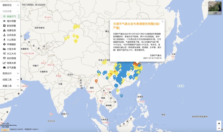
Extreme weather in China
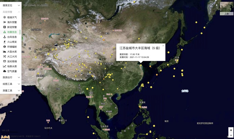
China Earthquake Information
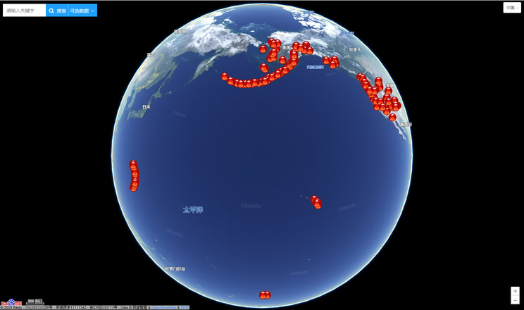
Volcano eruption
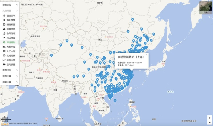
Environmental Radiation in China
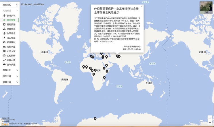
Overseas Warning
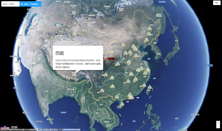
China's air quality
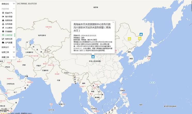
China's Water Disaster Alert
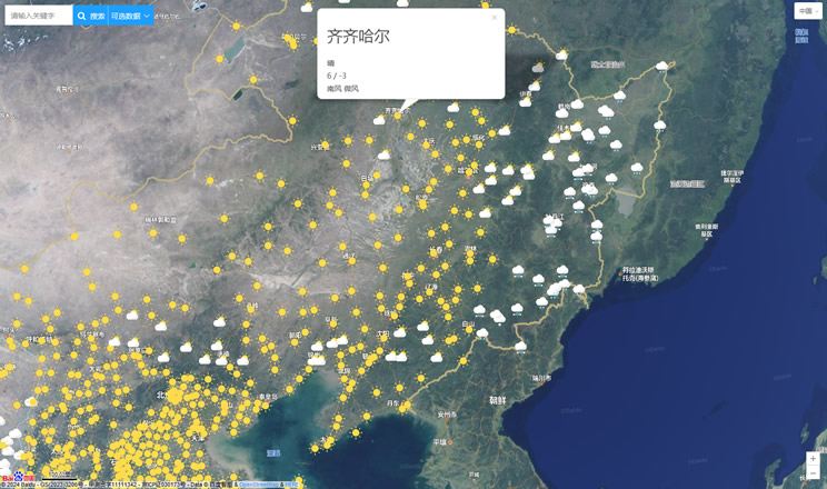
China Weather Forecast
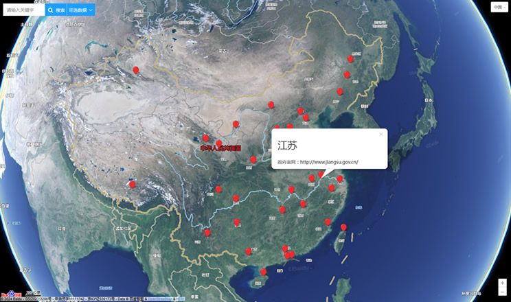
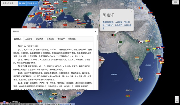
Introduction to Countries
China Subway Lines

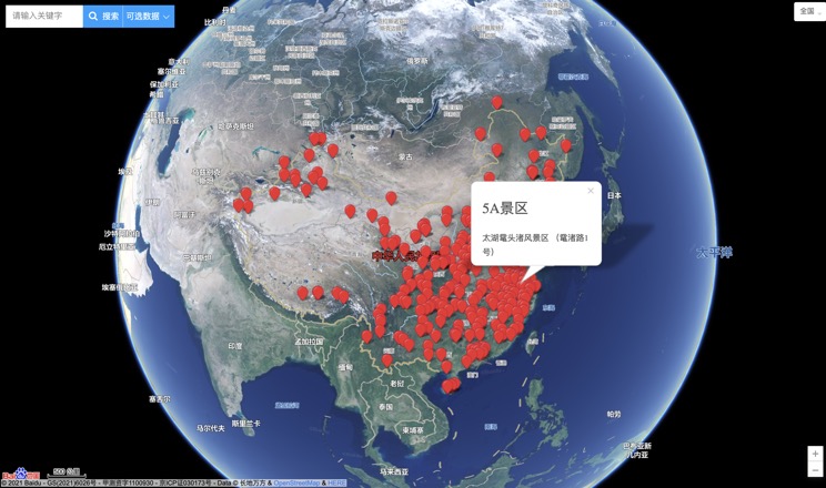
China's 5A Scenic Spots
Provincial Capitals in China
